Hiking & Backpacking Adventures
Steamboat Springs and the surrounding Routt County are often celebrated for “Champagne Powder” in the winter, but for hikers and backpackers, the region is a high-altitude playground of lush aspen groves, jagged volcanic peaks, and hidden alpine lakes.
The terrain ranges from the accessible, family-friendly trails of the Yampa Valley to the rugged, remote solitude of the Mount Zirkel and Flat Tops Wilderness areas.
Popular Hiking Destinations
1. The Iconic & Accessible (Close to Town)
Fish Creek Falls: The quintessential Steamboat hike. A 0.25-mile paved walk leads to the base of a 283-foot waterfall. For a more moderate challenge, continue 2.5 miles up to the Upper Falls.
Emerald Mountain (Blackmer Trail): Located right in town, this 4-mile round trip offers the best “postcard” view of downtown Steamboat and the ski resort.
Spring Creek Trail: A local favorite for families and dog owners. This shaded 10-mile (out-and-back) trail follows a bubbling creek through a canyon, with a reservoir about half a mile in where dogs can swim.
2. High-Alpine Adventures
Rabbit Ears Peak: Visible from almost anywhere in the valley, this 6-mile trek takes you to the base of the unique “ears” rock formation. The final scramble is steep but offers 360-degree views of the Continental Divide.
Hahns Peak: Located north of town near Clark, this is a short but strenuous 3.6-mile hike to a historic fire lookout at 10,839 feet. It provides arguably the best views in the county.
3. The “Thrilling” Choice
Devil’s Causeway: Located in the Flat Tops Wilderness (approx. 1.5 hours south of town). This legendary 10-mile loop features a narrow land bridge just 4 feet wide with 1,000-foot drops on both sides. Not for those with a fear of heights!
Backpacking & Wilderness Loops
For those looking to disappear for a few days, Routt County offers some of the most pristine wilderness in Colorado.
| Loop / Area | Distance | Difficulty | Highlights |
| Zirkel Circle | 11 Miles | Moderate/Hard | Hits both Gilpin Lake and Gold Creek Lake. Perfect for a 1-2 night trip. |
| Sarvis Creek Wilderness | Varies | Moderate | Deep forest solitude south of Steamboat; great for those seeking to avoid crowds. |
| Continental Divide Trail (CDT) | 60+ Miles | Strenuous | The section through the Zirkels is world-class, passing over high ridges and alpine tundra. |
| Three Island Lake | 7 Miles | Moderate | A classic Zirkel Wilderness destination with excellent lakeside camping spots. |
⚠️ Pro-Tips for the Trail
Moose Safety: Routt County has one of the highest moose populations in Colorado. Give them plenty of space; they are much more aggressive than elk or deer.
The Afternoon Storm: In the summer, “monsoon” thunderstorms typically roll in around 2:00 PM. If you are hiking above the treeline (like Hahns Peak or Rabbit Ears), plan to be heading back down by noon.
Bear Awareness: Black bears are active here. Bear-resistant food canisters or proper hangs are required for overnight stays in the Medicine Bow-Routt National Forest.
Permits: Most hiking in the area is free, though some trailheads (like Fish Creek Falls) require a small day-use fee ($5). No advance permits are currently required for most backcountry camping, but always check the Forest Service website for seasonal fire restrictions.
All Trails
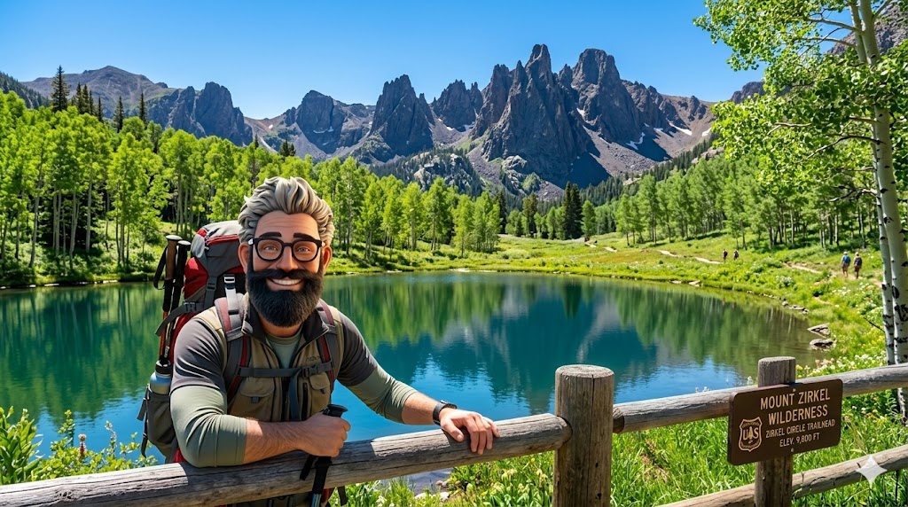
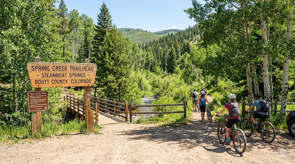
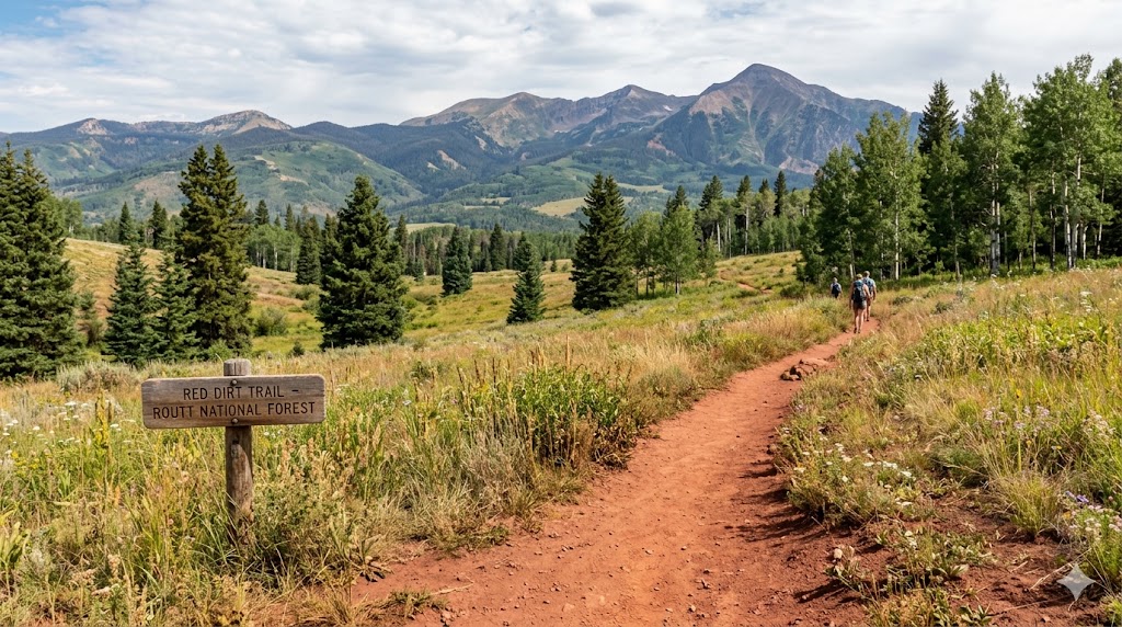
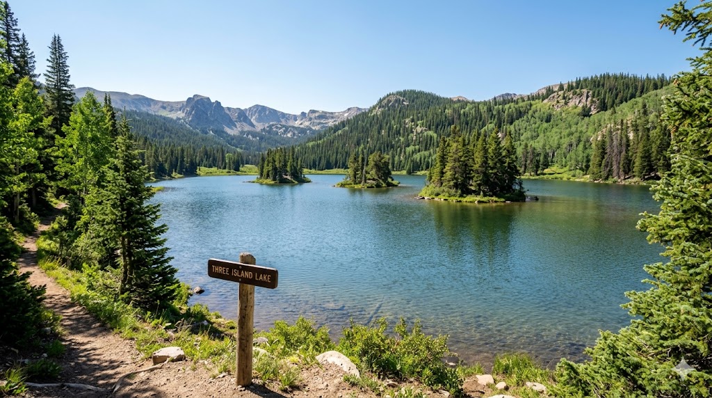
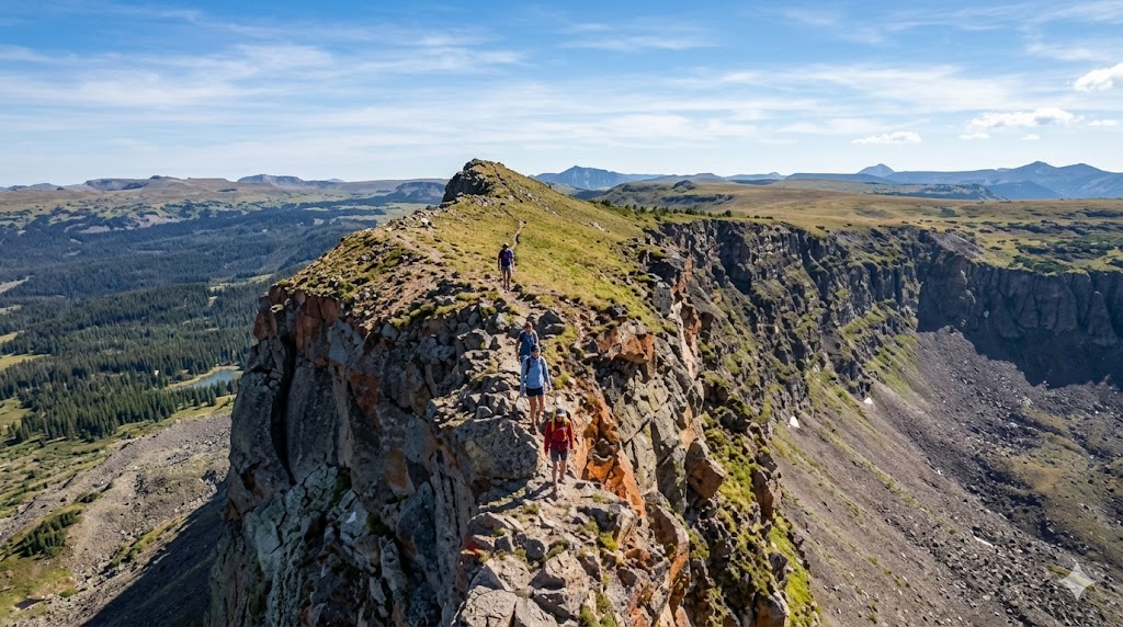
As of 2026, AllTrails has solidified its position as the world’s most popular digital guide for outdoor recreation. With a community of over 95 million members and a database featuring more than 500,000 curated trails across all seven continents, it serves as the bridge between “wanting to get outside” and actually knowing where to go.
🧭 The AllTrails Ecosystem: How It Works
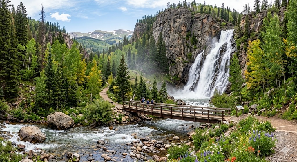
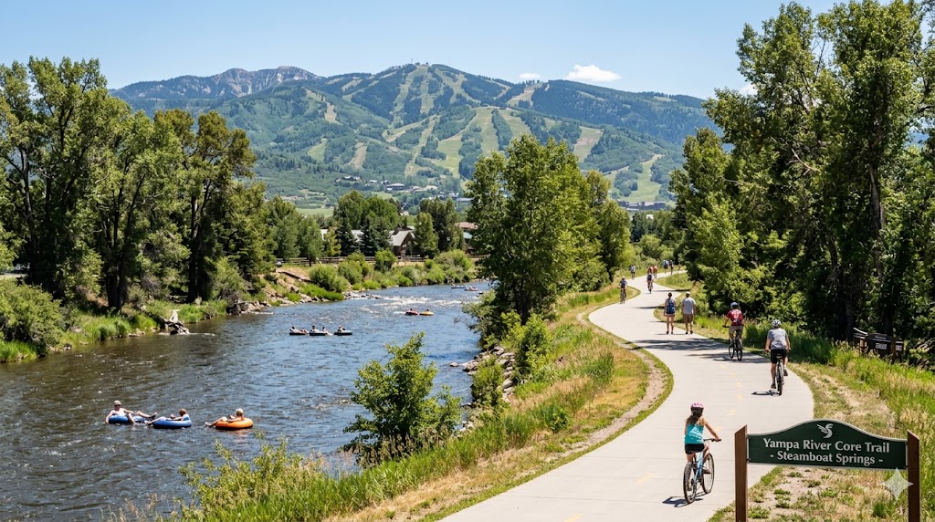
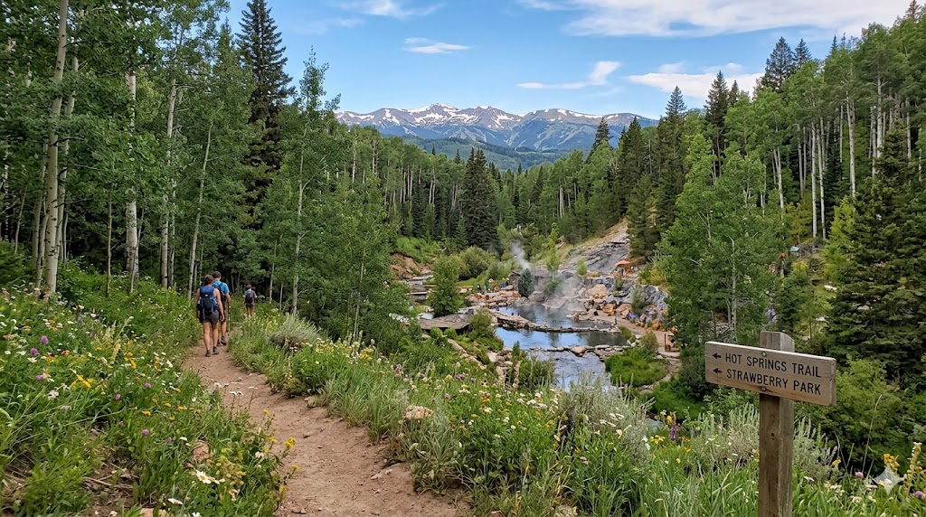
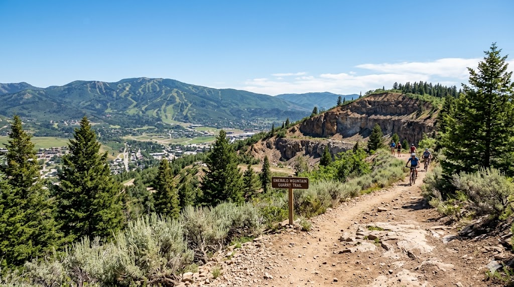
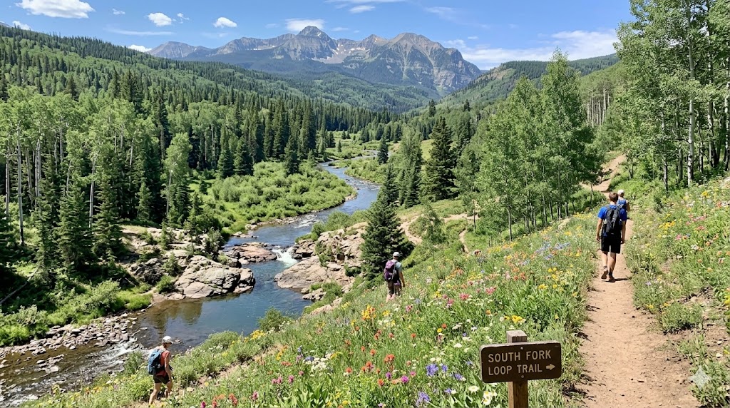
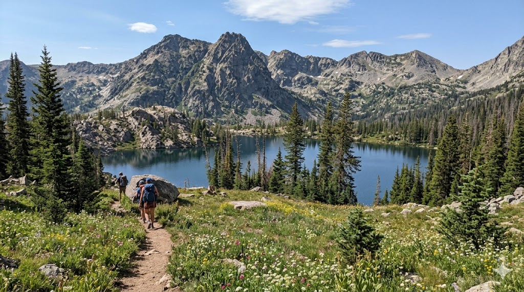
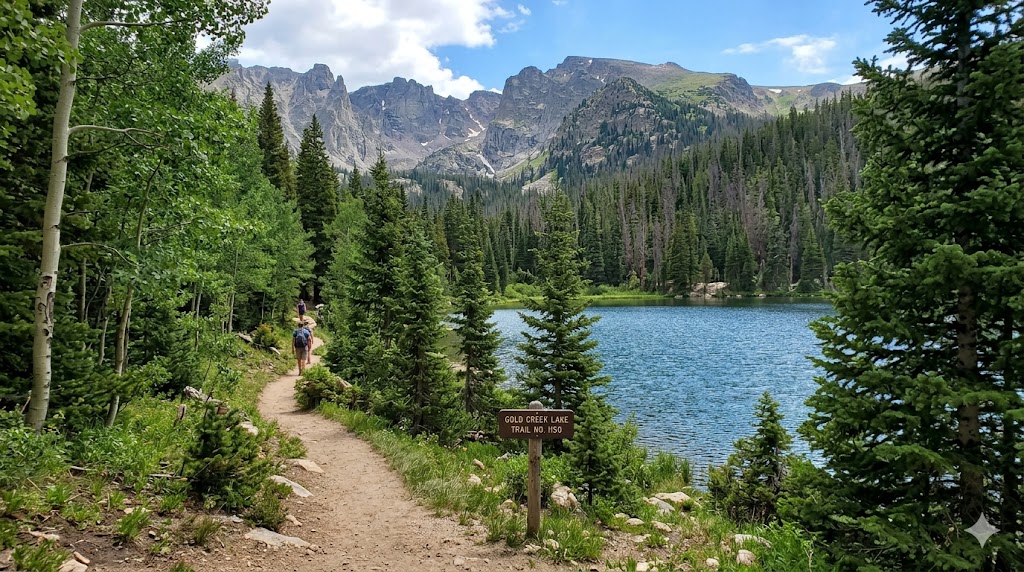
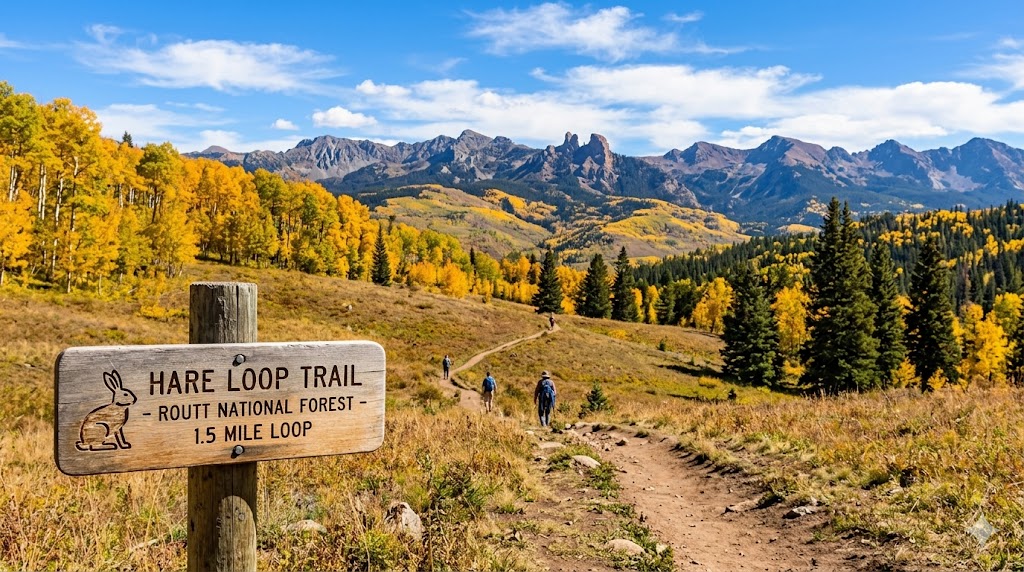
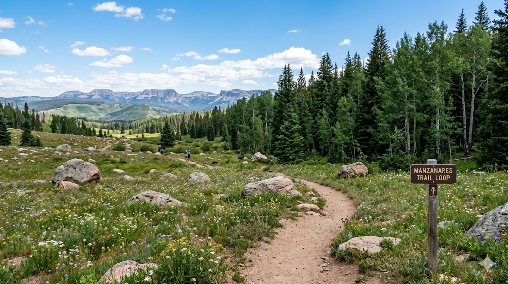
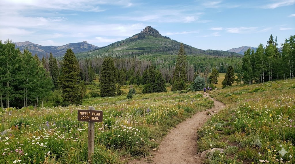
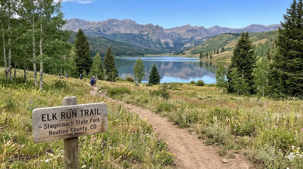
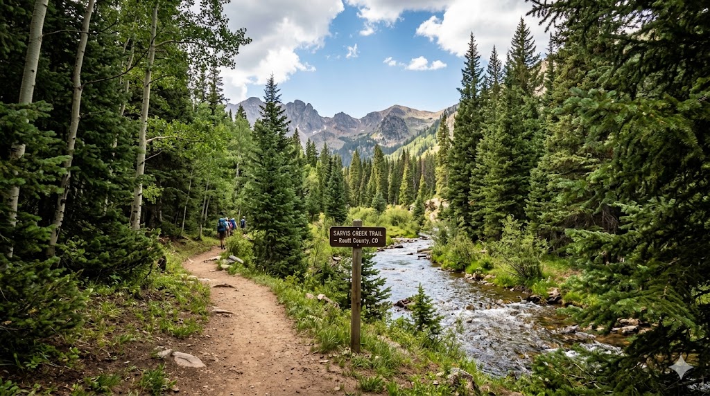
AllTrails is a cross-platform tool (Mobile App & Web) that helps you discover, plan, and navigate outdoor activities like hiking, mountain biking, trail running, and even snowshoeing.
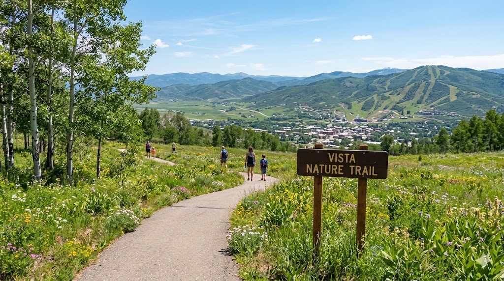
1. Discovery & Planning
Smart Filters: Search for trails based on difficulty, length, elevation gain, or specific features (waterfalls, dog-friendly, wheelchair-accessible).
Crowdsourced Wisdom: Access millions of real-time reviews and photos from the community. Users report on recent conditions like “muddy sections,” “fallen trees,” or “wildflowers in bloom.”
Verified Maps: Every curated trail is verified by in-house experts to ensure accuracy and safety.
2. In-the-Field Navigation
GPS Tracking: Use your phone as a navigator to see your exact location on the trail map.
Stats Tracking: Record your pace, distance, elevation gain, and time.
Integrations: Syncs seamlessly with Apple Watch, Garmin, and Wear OS devices.
💎 Membership Tiers (2026 Pricing)
AllTrails operates on a “freemium” model. While the base app is powerful, the paid tiers are designed for safety and advanced exploration.
| Feature | Base (Free) | Plus ($35.99/yr) | Peak ($79.99/yr) |
| Trail Discovery | ✅ | ✅ | ✅ |
| GPS Navigation | ✅ (Online only) | ✅ (Offline) | ✅ (Offline) |
| Wrong-Turn Alerts | ❌ | ✅ | ✅ |
| Live Share (Lifeline) | ❌ | ✅ | ✅ |
| 3D Maps & Printing | ❌ | ✅ | ✅ |
| Advanced Weather | ❌ | ✅ | ✅ |
| In-App Custom Routes | ❌ | ❌ | ✅ |
| Outdoor Lens (ID) | ❌ | ❌ | ✅ |
Note: As of late 2025, Custom Routes (building your own path) is now free on desktop for all users, but in-app mobile route building remains a Peak exclusive.
🚀 Key 2026 Features
Outdoor Lens: A new “Peak” feature that allows you to point your camera at a plant, flower, or insect to identify it instantly.
Community Heatmaps: View real-time activity levels to see which trails are currently crowded and which offer solitude.
Trail Conditions: Detailed ground data (pollen, air quality, mosquito activity, and snow depth) updated by both satellite data and user reports.
🎯 Why Use It?
Safety: The Wrong-Turn Alert is a literal lifesaver, buzzing your phone the moment you veer off the path.
Confidence: For beginners, knowing exactly how steep a hill is (before you start) removes the “fear of the unknown.”
Community: It’s the “Instagram of the Outdoors”—you can follow friends, share your completed peaks, and join local trail challenges